

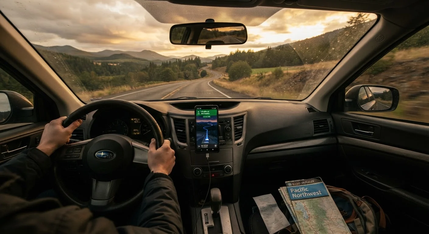
Our Verdict
Neither GPS nor paper maps is universally superior—each has a distinct failure mode that the other compensates for. Travelers who download offline maps, carry a current road atlas for their driving region, and review their route before departure are best positioned to handle the unexpected without panic.
| Best for | Recommended |
|---|---|
| Urban driving and real-time traffic routing | GPS / Digital Navigation |
| Remote or rural travel with spotty connectivity | Offline maps combined with a paper backup |
| First-time long-distance road trippers | Both tools used together |
| International or cross-border road travel | Downloaded offline maps plus a regional road atlas |
Why Navigation Still Goes Wrong
Even in 2024, navigation failures strand drivers more often than most people expect. Cell dead zones are common across rural stretches of the American West, parts of Appalachia, and sections of the Great Plains. But urban environments aren't immune either—GPS signal can bounce unpredictably between tall buildings, sending you one block off course at exactly the wrong moment.
The issue isn't that navigation technology is bad. It's that travelers treat a single tool as infallible. If you're planning a serious drive, see our practical primer for first-time long-distance road trippers for a broader look at where logistics break down. Navigation is just one layer of that larger picture.
Understanding how each approach fails—and in what conditions—lets you build a reliable system rather than hoping one app has you covered.
GPS and Digital Navigation: Strengths and Failure Points
Digital navigation's core advantage is real-time responsiveness. Live traffic data, dynamic rerouting around accidents, and turn-by-turn audio instructions free you from looking at a map while driving. For most urban and suburban routes, it works exceptionally well.
The failure points are predictable, though:
- No signal, no route: Streaming-dependent apps go blank in areas without cellular coverage. This is especially common in national parks, mountain passes, and rural highways.
- Outdated map data: GPS apps are only as current as their last update. New construction, road closures, and seasonal restrictions may not appear for weeks or months.
- Rerouting errors: Aggressive rerouting can send drivers down unpaved roads, through residential areas with weight restrictions, or onto routes unsuitable for RVs and trailers.
- Battery and device dependency: A dead phone or failed car mount means losing your route entirely if you haven't memorized any landmarks.
The practical fix for most of these is downloading offline maps before you leave home. Most major navigation apps offer this. It doesn't solve the data-currency problem, but it eliminates the signal dependency. Think of offline maps as the minimum baseline for any drive into unfamiliar territory. For a broader look at digital and analog planning tools, see planning tools travelers actually use.
Download Offline Maps Before You Leave Home
Don't wait until you're on the road to realize your GPS needs a signal to function. Download offline maps for your entire route—including connecting regions—while on Wi-Fi at home. This takes a few minutes and eliminates the most common GPS failure point. Check that your downloaded maps are recent before each trip.
Paper Maps: Where They Still Hold Up
A current road atlas doesn't need a signal, a charge, or a data plan. It gives you a complete overview of a region that no app screen can match—you can see an entire state's highway network at a glance, which is genuinely useful for big-picture route decisions and detour planning.
Paper maps also don't reroute you into a ditch. They're static, which means they don't make dynamic decisions you didn't authorize.
Their limitations are equally clear:
- No real-time data: A paper map can't tell you about the bridge closure that happened last Tuesday or that the main highway through town is under construction.
- Currency matters: Maps go stale. A road atlas that's five years old may show routes that have been redesignated, renamed, or physically altered.
- Usability while driving: Reading a physical map requires stopping, which is inconvenient but also safer than fumbling with paper at highway speed.
For rural and remote travel, carrying a current state or regional map is a sound backup regardless of what your phone can do. It's also worth noting that over-reliance on any single guidance system—digital or otherwise—reflects the same problem that plagues drivers who over-trust vehicle safety tech. Tools require human oversight.
| GPS / Digital Navigation | Paper Maps | Offline Maps (Downloaded) | |
|---|---|---|---|
| Works without cell signal | No (streaming required) | Yes | Yes |
| Real-time traffic data | Yes | No | No |
| Reflects recent road changes | Mostly, with updates | Only if map is current | Only at last download |
| Turn-by-turn audio guidance | Yes | No | Yes |
| Requires device/battery | Yes | No | Yes |
| Regional overview at a glance | Limited by screen size | Excellent | Limited by screen size |
| Suitable for remote/rural routes | Unreliable | Good backup | Reliable |
Building a Navigation System That Doesn't Fail You
The most dependable approach isn't picking a winner between GPS and paper—it's using both strategically. Before any unfamiliar drive:
- Download offline maps for every region you'll pass through, not just your destination.
- Review your route in advance. Know the major highways, key interchange numbers, and at least one landmark per segment. This means a navigation failure doesn't leave you directionless.
- Carry a current atlas or at minimum print a simplified overview of your route. State welcome centers often distribute free paper maps.
- Check for known closures through your state DOT's website or 511 traveler information lines before departure—neither GPS nor paper will reliably catch these in real time.
For complete route logistics including fuel stops and contingency planning, see our guide on planning a route that actually works. Navigation is one piece; the full planning picture matters just as much.
~72%
U.S. roads with cell coverage gaps
The FCC has documented that a significant portion of U.S. rural road miles fall into areas with limited or no broadband or cellular coverage, affecting real-time GPS reliability.
30+ days
Typical delay for map data updates
Major navigation platforms typically take several weeks to incorporate newly reported road changes, meaning fresh closures or new construction may not appear promptly.
The content on this site is for informational purposes only and is not a substitute for professional advice. Always consult a qualified professional for guidance specific to your situation.